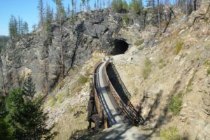
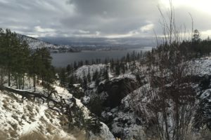
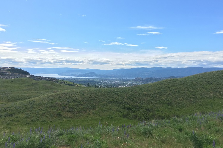
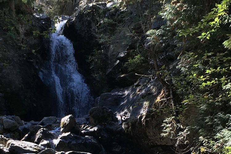
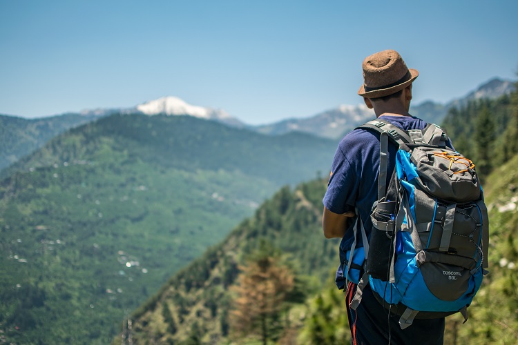
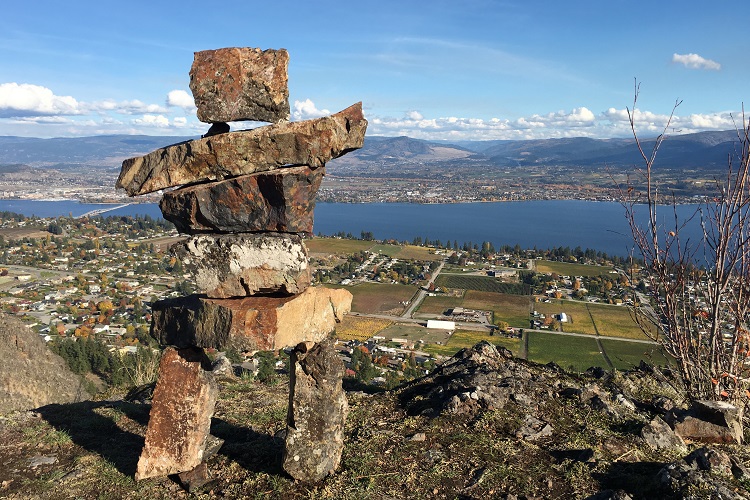
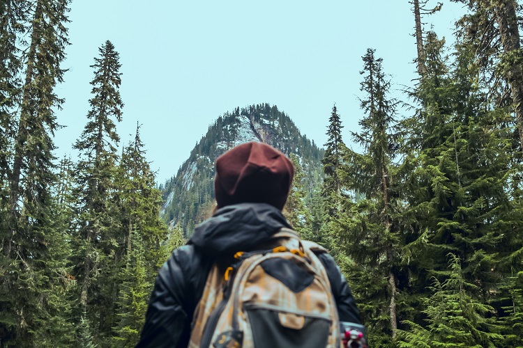
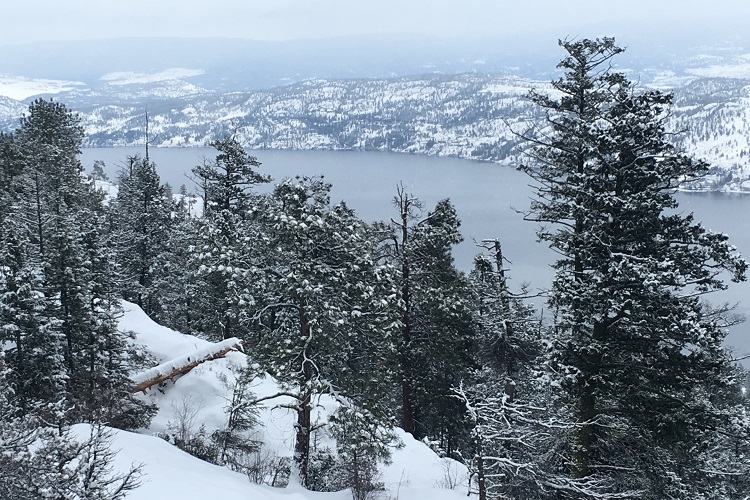
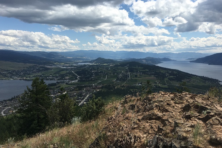
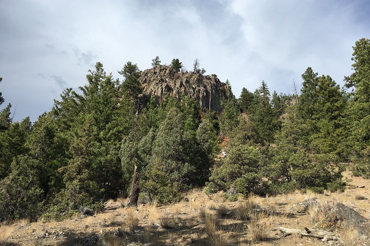
With many moderate to difficult well-marked trails on the outskirts of Kelowna, this park is popular with hikers, cyclists, runners, horseback riders, and in the winter, snowshoers. Pick a trail, and discover the forest paths, rambling creeks, waterfalls, sinkholes, caves, and of course the local wildlife (from a safe distance).
Access: Steward Rd. in East Kelowna